CLP Enterprise GIS and Asset Management System
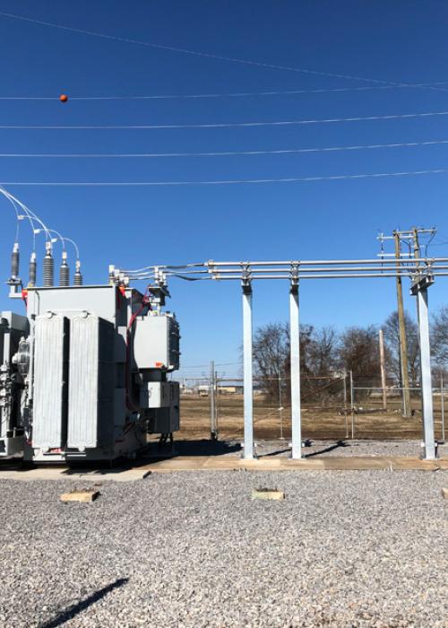
CLP owns and operates an electrical utility grid at 10+ military installations throughout the US as part of utility privatization (UP) contracts with the Department of Defense (DoD). As a utility O&M company, CLP needed a robust asset management system that could facilitate inventory, inspections, and maintenance of assets. CLP Engineering designed and implemented a comprehensive asset management system that utilizes ESRI’s enterprise GIS system as its core database.
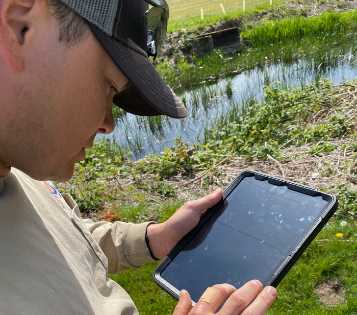
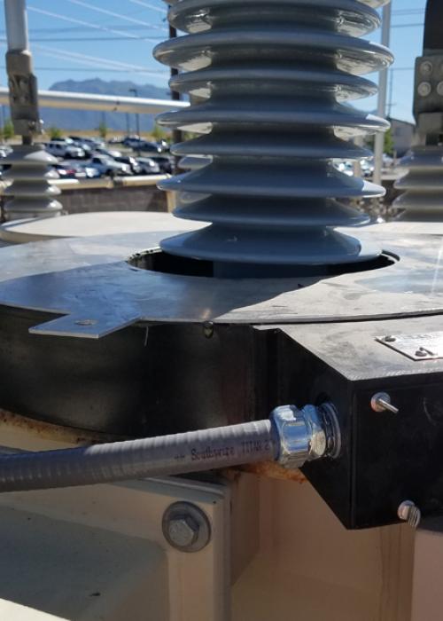
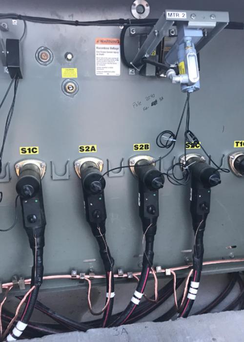
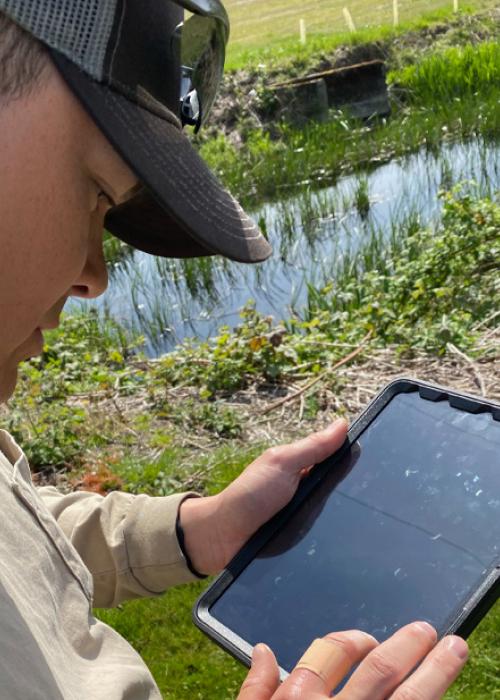
CLP Engineering developed a data dictionary, database structure, asset categories, definitions, attribute tables, relational tables, and automated data auditing and management tools for this development. A high-availability GIS architecture with redundant servers, services, and data storage systems are in-place to provide high volume data flow, storage, and redundancy. The GIS enterprise system features ESRI’s Field Maps (iPad-based field data collection app), web maps, operational maps, and various automated reporting features. MS Power BI is integrated with the GIS database for infographics, business analytics, reporting, maintenance management. The GIS database keeps up to date records of all the CLP assets including nameplate data, features, attributes, age, criticality, pictures, O&M manuals, inspection records, and maintenance records in a central geodatabase repository.
Project Overview
Location: Greenwood Village, Colorado
Market Sector: Commercial
Services Type: Operations and Maintenance Engineering
Timeline: 2017-2020
Client: CLP
Key Features
- High-availability system
- Cybersecurity
- Scalable and versatile
- Automated data quality control and auditing
Outcome
- Centralized, scalable, and robust GIS database
- User-friendly web interfaces and map services
- Comprehensive asset management system
- Infographics and analytic tools for business decisions

